A Guide to the What’s and Whys of a Land Survey
Land surveys are used in the construction of domestic and commercial premises.
But what do they involve and why might you need one?
Whether you are involved in a small-scale extension to your home or a major industrial development project, there is a huge range of regulations to be followed, approvals to be sought and inspections to be performed. Perhaps the most confusing can be the different types of services that building surveyors are called on to perform.
Measured surveys, laser scanning, topographical surveys and more – what do they all mean, and what do you need for your project? Here we take a look at topographic surveys, including what actually happens and how they can bring you benefits.
What is a topographical survey?
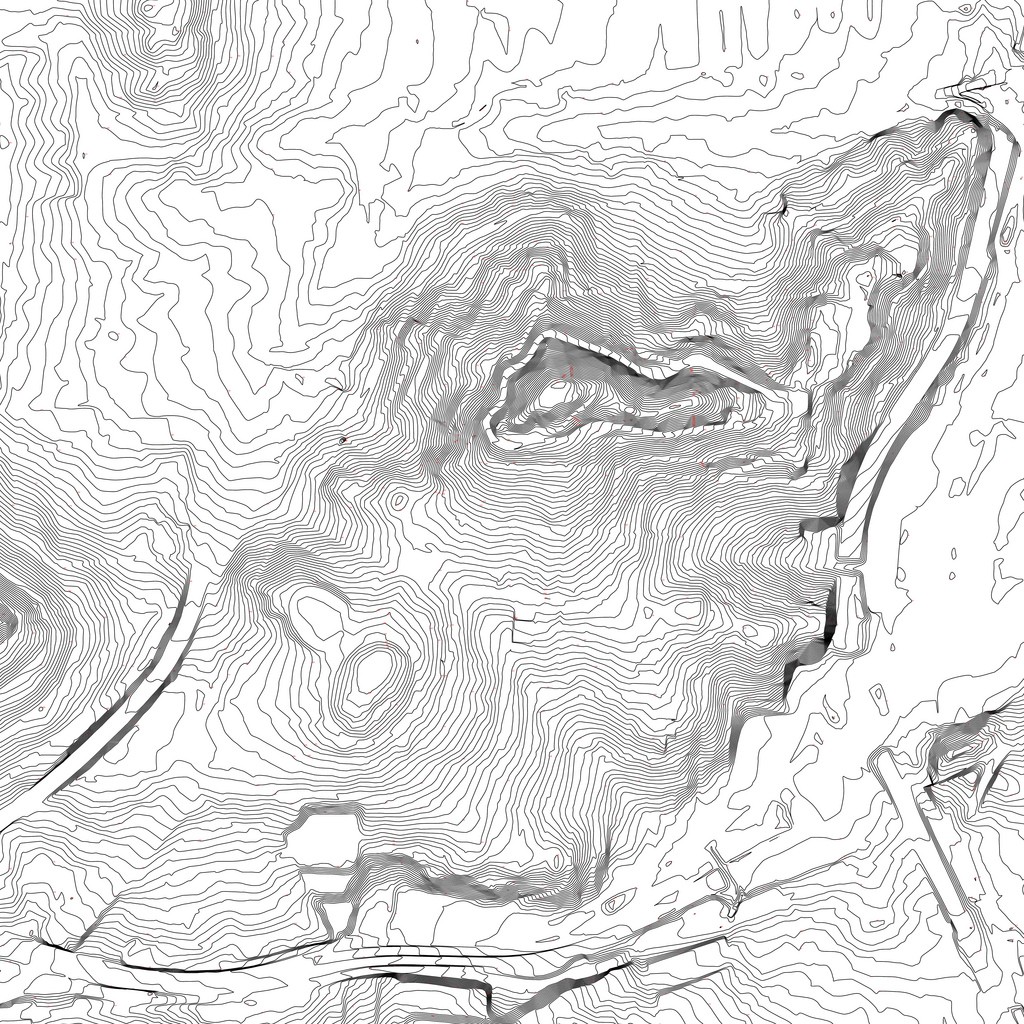
Put simply, a topographical survey provides a map of the land and the key features that are on it. In other words, it identifies and maps the contours of the earth and whatever is on it, under it or even slightly above it. This might include buildings, trees, walls, walkways, underground utilities, water courses and almost anything else you can think of.
Depending on the type of project, it can be used in combination with boundary data, public rights of way, utility maps and numerous other factors that have an impact on any type of construction.
How are topographical surveys performed?
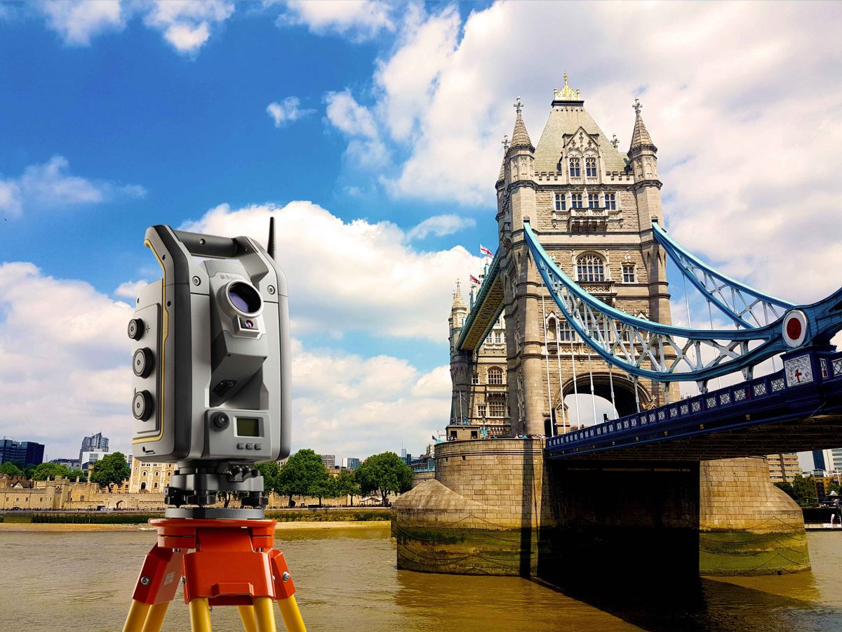
Measurements for topographical surveys are taken using specialist equipment, either in the form of a survey quality hand held GPS unit, or using an electronic distance measuring (EDM) instrument – these are the pieces of equipment you sometimes see being used on tripods by the side of the road.
Whatever method is used, today’s surveyors will have all their equipment digitally linked, meaning that the results can be presented in a variety of ways. The raw data is shown as contour lines on the main site map, but this can then be enhanced using specialist software to provide bespoke interactive views. The results can also be overlaid onto other mapping resources, for example Ordnance Survey (OS) data.

Why do you need one?
The direct benefits include the following:
- Identifying the most favourable location for the proposed development, taking into account the convenience and location of utilities.
- The optimum layout regarding cardinal points, for example maximising sunlight with south facing windows, gardens and surfaces.
- Factoring the location and layout of neighbouring buildings into the design.
- Considering site-specific aspects of the surface, such as soil type, water table, etc.
- Volume calculations for excavation and drainage needs
- Ensuring the reliability and durability of the entire project.
When it comes down to it, the topographical survey quite literally lays the foundation on which the rest of the project is built, and as such, it needs to be the first thing you think about for any construction project, large or small.
From domestic to industrial, brownfield to farmland, a topographical survey will provide the information you need in the format that you need it.


